Biking & Bike Trails
Rhode Island's bike trails range from redeveloped beds of old railroad tracks as "rail trails" inland, to the famous East Bay Bike Path in Barrington and other East Bay towns.
11 places to visit
Central Falls, Lincoln, Cumberland, RI
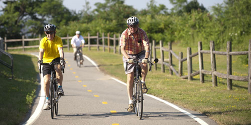
Blackstone River Bikeway
Length: 11.5 miles
The Blackstone River Bikeway is scheduled to be a 17.1 mile by 12-foot wide scenic bike-path, currently under construction. Right now, bicyclists can access 11.5 of those miles linking the towns of Central Falls, Lincoln, and Cumberland. The path is scenic and educational, as it follows the historic Blackstone River with it’s many beautiful mill buildings, canal chambers, and ruins of the industrial revolution. See website for access points.Path follows Blackstone River 401-723-7892Block Island (New Shoreham), RI
Block Island Bike Tour
This bike tour map created by Block Island Tourism Council is a seven-mile loop ride that includes nine stops at major sights at the southern end of the island. An additions eight-and-a-half-mile extensive – not part of the loop, extends into the northern tip of the island. Stops on the entire route include the Block Island Tourist Center (off Water Street), Abrams Animal Farm, Spring House Hotel, South East Lighthouse, Mohegan Bluffs, Painted Rock, Rodman's Hollow, Dead Eye Dick's, Fred Benson Town Beach, Great Salt Pond in New Harbor, North Lighthouse, with a return to Water Street.many locations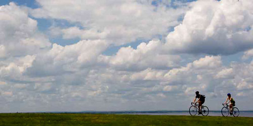
Providence, East Providence, Barrington, Warren, Bristol, RI
East Bay Bike Path
Length: 14-5 miles
The East Bay Bike path is a 14.5-mile, 10-foot-wide ribbon of asphalt that provides a safe place for unobstructed cycling. Most of it follows the eastern shore of Narragansett Bay. Users can enjoy the sights, sounds and smells as the path takes them by coves and marshes, over bridges, and through state parks. Trail mappath along Providence River and Narragansett Bay 401-253-7482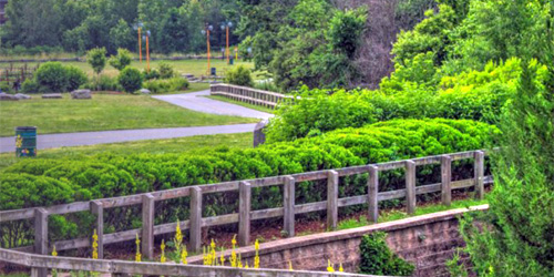
Providence, Johnston, RI
Fred Lippitt Woonasquatucket River Bikeway
Length: 5 miles
The Fred Lippitt Woonasquatucket River Greenway Bike Path starts at Waterplace Park in downtown Providence, goes under Providence Place Mall, and runs up the Woonasquatucket River through Providence and into Johnston. Parking for the trail is at Riverside Mills Park off Aleppo Street in Providence.
You can get access to the bike path in Providence at Waterplace Park in the downtown; Donigian Park near Atwells Avenue and Valley Street; Riverside Mills Park on Aleppo Street in Olneyville; Merino Park in the Hartford neighborhood, just off Route 6; Manton Gateway, a small green space on Manton Avenue; Buttonhole gtolf course. In Johnston, you can reach the bike path Hillside Avenue just off Greenville Avenue.WaterPlace Park to Lyman Avenue in Johnston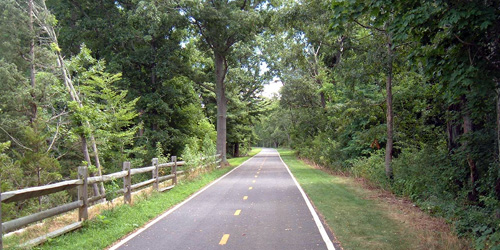
Warren, RI
Warren Bike Path
The Warren Bike Path extends one mile path in the eastern portion of the town of Warren from the Kickemuit River to Long Lane, close to the Massachusetts border. The path follows the old Warren-Fall River Railroad spur, now unused. The path is mostly level. Bikers can use this path to get access to the East Bay Bike Path. - Bike Path Map (PDF)Off of Asylum Road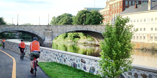
Pawtucket, RI
Blackstone River Greenway in Rhode Island
Length: 26.6 miles
Cyclists and community groups are creating a 50-mile network of trails along the historic Blackstone River banks from Providence, RI, Worcester, MA.
Currently, the longest off-road segment connects Woonsocket and Pawtucket in Rhode Island. Learn about the Blackstone River Greenway and Bikeway, with maps. Uses include biking, skating, fishing, horseback riding, walking and cross country skiing. The trail is wheelchair accessible.
Completed off-road sections in Massachusetts include a 3.5-mile segment from South Worcester to Millbury, and a 3.6-mile trail in Blackstone River and Canal Heritage State Park (Trail map for the park.
Parking and Trail Access Points:
Woonsocket, RI: Rivers Edge parking Area on Davison Avenue in Woonsocket. Map.
Lonsdale, RI: Parking area and trail access point near the Pratt Dam in Lonsdale on RI Route 123/Front Street. Map.
Worcester, MA: Parking at the Blackstone Heritage Corridor Visitor Center off McKeon Road in Worcester. Map.
Blackstone River and Canal Heritage State Park, Uxbridge, MA: Parking is at the River Bend Farm Visitor Center at 287 Oak St, Uxbridge. Map.Tockwotton Park in Providence, RI, to McKeon Road in South Worcester, MA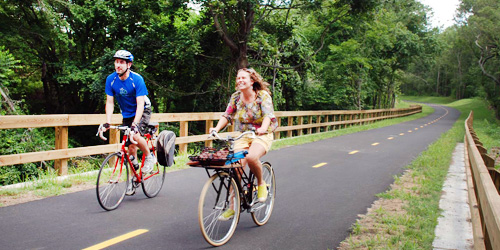
Kingston, Peace Dale, Wakefield, Narragansett, RI
South County Bike Path (William C. O'Neill Bike Path)
Length: 6 miles along old railroad corridor
The South County Bike Path, also know as the William C. O'Neill Bike Path, is 6 miles in length but when completed, will be approximately 8 miles. From the Kingston train station, the path follows the easement of the old Narragansett Pier Railroad, passing through the villages of Peace Dale, Wakefield, and into the Town of Narragansett. See map for access points.
Trail MapKingston train station to Mumford Road 401-783-8886Cranston to Coventry through West Warwick and Warwick, RI
Washington Secondary Bike Path
Length: 19 miles; follows an old railroad bed; mostly level
The Washington Secondary Bike Path covers 19 miles from Cranston Street in Cranston to Log Bridge Road near Route 102 in Coventry. The path is often referred to by the names of parts of the path as it was being built: Trestle Trail, Coventry Greenway, West Warwick Greenway, Warwick Bike Path, and Cranston Bike Path. The path follows an old rail corridor and it’s mostly flat except for a gradual downhill slope from west to east. Much of the path runs parallel to the Pawtuxet River. Small boat access is possible at several points at official canoe launches. The trail also has a horseback riding trail from Route 117 at Old Main Street to Log Bridge Road. Trail MapCranston Street to Log Bridge RoadEast Providence, Pawtucket, RI
Ten Mile River Greenway
Length: 2.5 miles
One of Rhode Island’s newer bike paths, the Ten Mile River Greenway extends from Kimberly Ann Rock Athletic Fields in East Providence to Slater Memorial Park in Pawtucket. The name is misleading; the trail is only 2.5 miles. One of only a few such paths that was not constructed on an old rail line, this bike trail includes lots of dynamic turns and inclines. Parking is at Slater Park in Pawtucket or at Kimberly Ann Rock Athletic Fields in East Providence.
Trail map.Route 1 in Pawtucket to Ferris Avenue in East Providence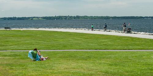
Bristol, RI
Colt State Park
This large, open park on the eastern shore of Narragansett Bay has many drives and trails for walking and biking, and the famous East Bay Bike Path passes through the park. - Park Map (PDF)Route 114 at Asylum Road 401-253-7482North Kingstown, RI
Quonset/Davisville Bike Path
The Quonset/Davisville Bike in North Kingstown extends 2.5 miles from Post Road (Route 1) to the Calf Pasture Point nature area. The path moves around the edge of the Quonset Business Park. The bikeway is entirely off-road. From Route 1, you can get access to the path behind The Shops at Quonset Point retail plaza. You'll pass along the edge of a quiet residential area before heading into a wooded area. When you reach the end of the path you can follow old roads into Calf Pasture Point, ending at nearly a mile of undeveloped beach. Parking available at Kohls Plaza in North Kingstown. - Bike Path MapRoute 1 around Quonset Business Park